Birds of a feather explore together!
Get started with birding!
What do I need? Where do I go? What do I do? Don’t worry — we’ve got you!
Birding is simply the act of watching and enjoying the birds around you. But it is also the act of slowing down and noticing what is going on around you. Happening, the wind whispering through the trees, the sound of birds singing and calling, or the quiet burbling of a creek.
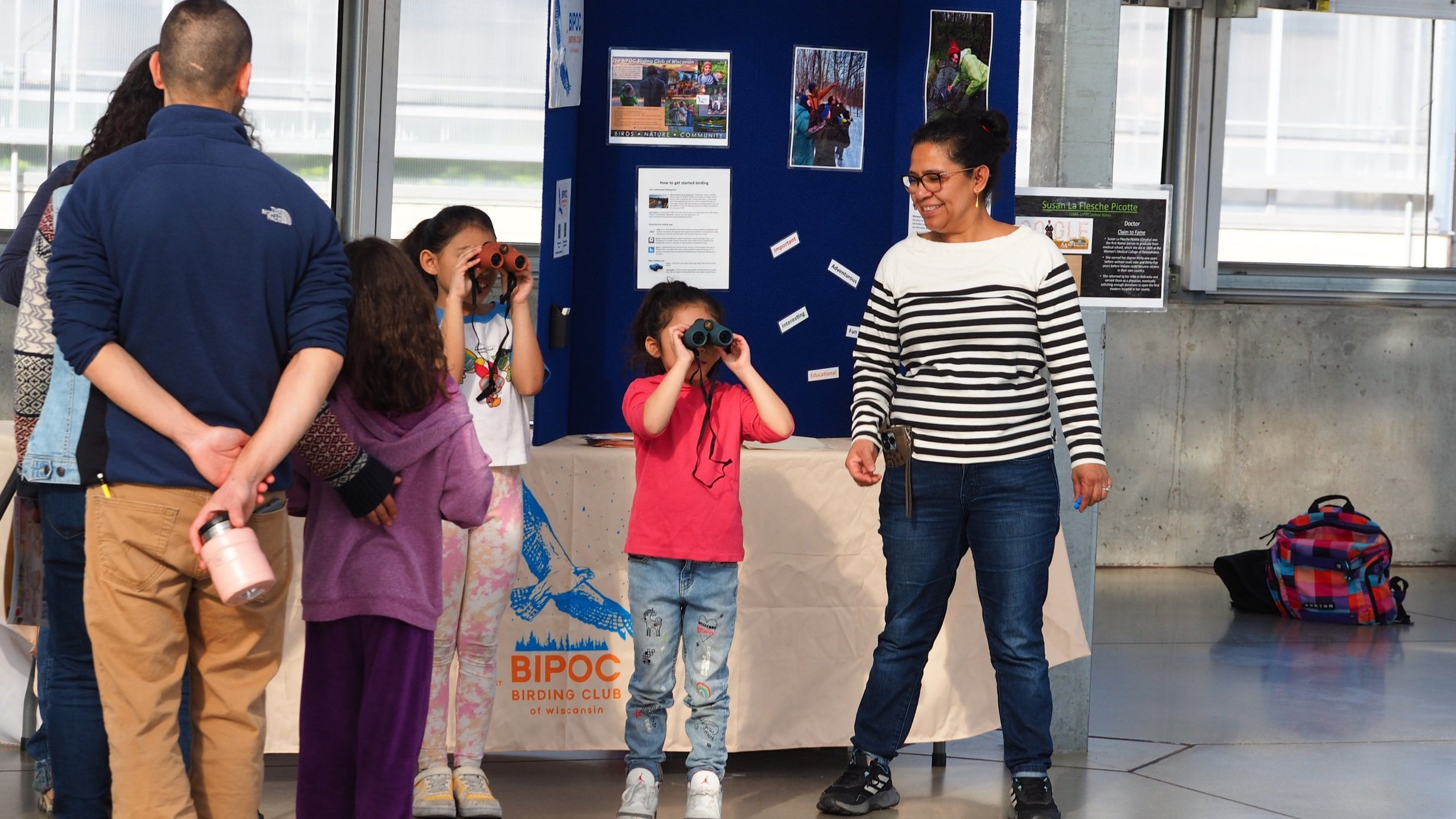
What do you need to get started with birding? Not much! The most important thing is to bring your curiosity, patience, and senses. There is much you can see, hear, and feel just by being out on a walk or in a park. The BIPOC Birding Club of Wisconsin loves supporting new birders - beginners are always welcome!
Photo by Rita Flores Wiskowski
Why We Started This. Filmed by NBC15 starring BIPOC Birding Club co-founder Dexter Patterson
How to Start Birding. Filmed by NBC15 starring BIPOC Birding Club co-founder Dexter Patterson
Birding with Kids. Filmed by NBC15 starring BIPOC Birding Club co-founder Dexter Patterson
Birding Health Benefits. Filmed by NBC15 starring BIPOC Birding Club co-founder Dexter Patterson.
If you want to increase your ability to sight birds at a distance, binoculars will do that for you. Every BIPOC Birding Club of Wisconsin event provides binoculars for club members to borrow who would like to bird but do not have a pair.
If you want to step up your game, there are bird ID guides such as Sibley and Kauffman and apps like Merlin, Audubon, and iBird. The bottom line is that you can make birding as simple or as complicated as you make it. That is part of the beauty of it.
If you are looking for some great local and regional Wisconsin places to find great birds, check out our list of favorites spots below. The places listed here are some of the club’s favorite stomping grounds because they have a high number and variety of bird species, are beautiful places to spend some time in and are safe to visit. Want to join us on one of our upcoming field trips?
Birding with friends makes learning easier and more fun. Come explore with us!
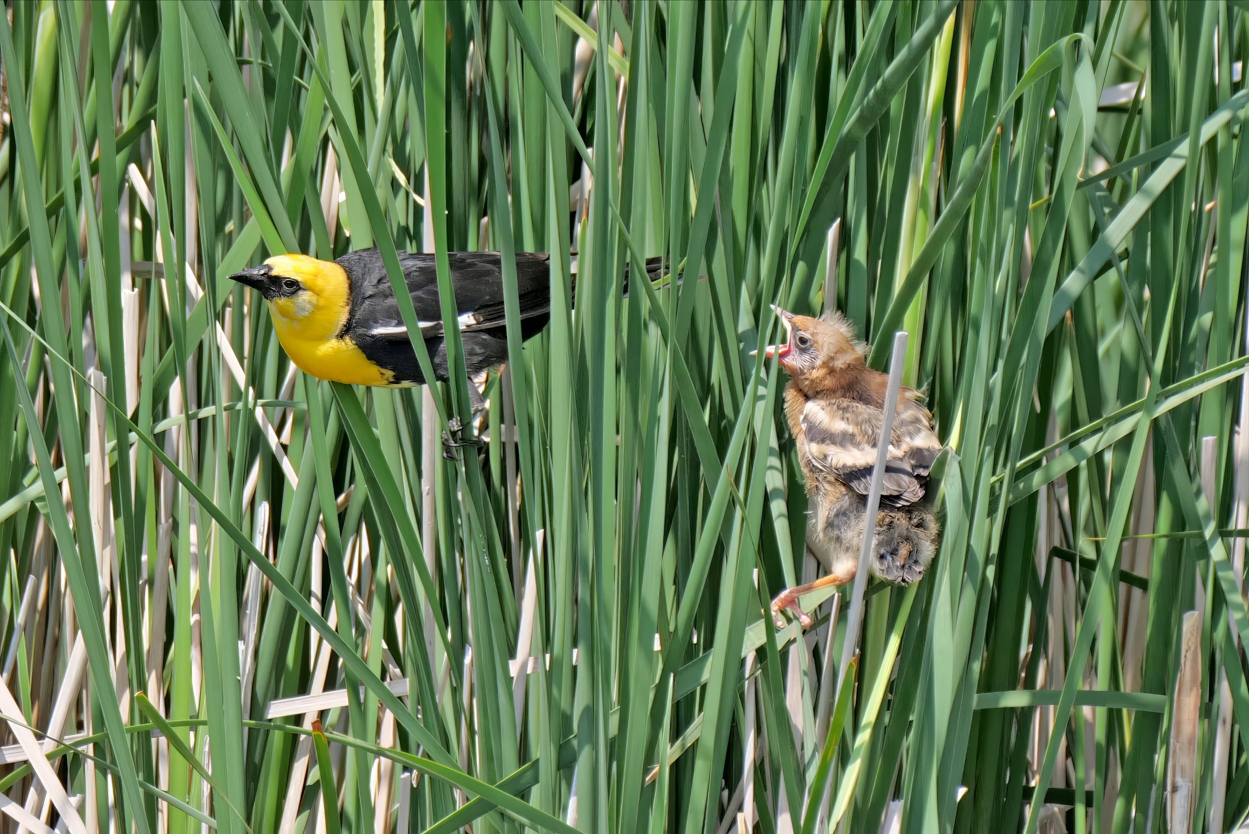
Yellow-headed Blackbirds. Photo by Dexter Patterson
Male Blackburnian Warbler. Photo by Dexter Patterson
American Pelican. Photo by Dexter Patterson
Common Yellowthroat. Photo by Dexter Patterson
Hudsonian Godwit. Photo by Dexter Patterson
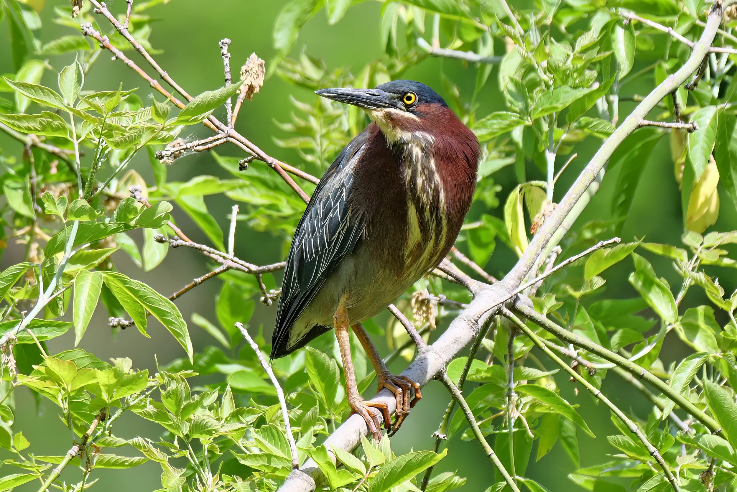
Green Heron. Photo by Dexter Patterson
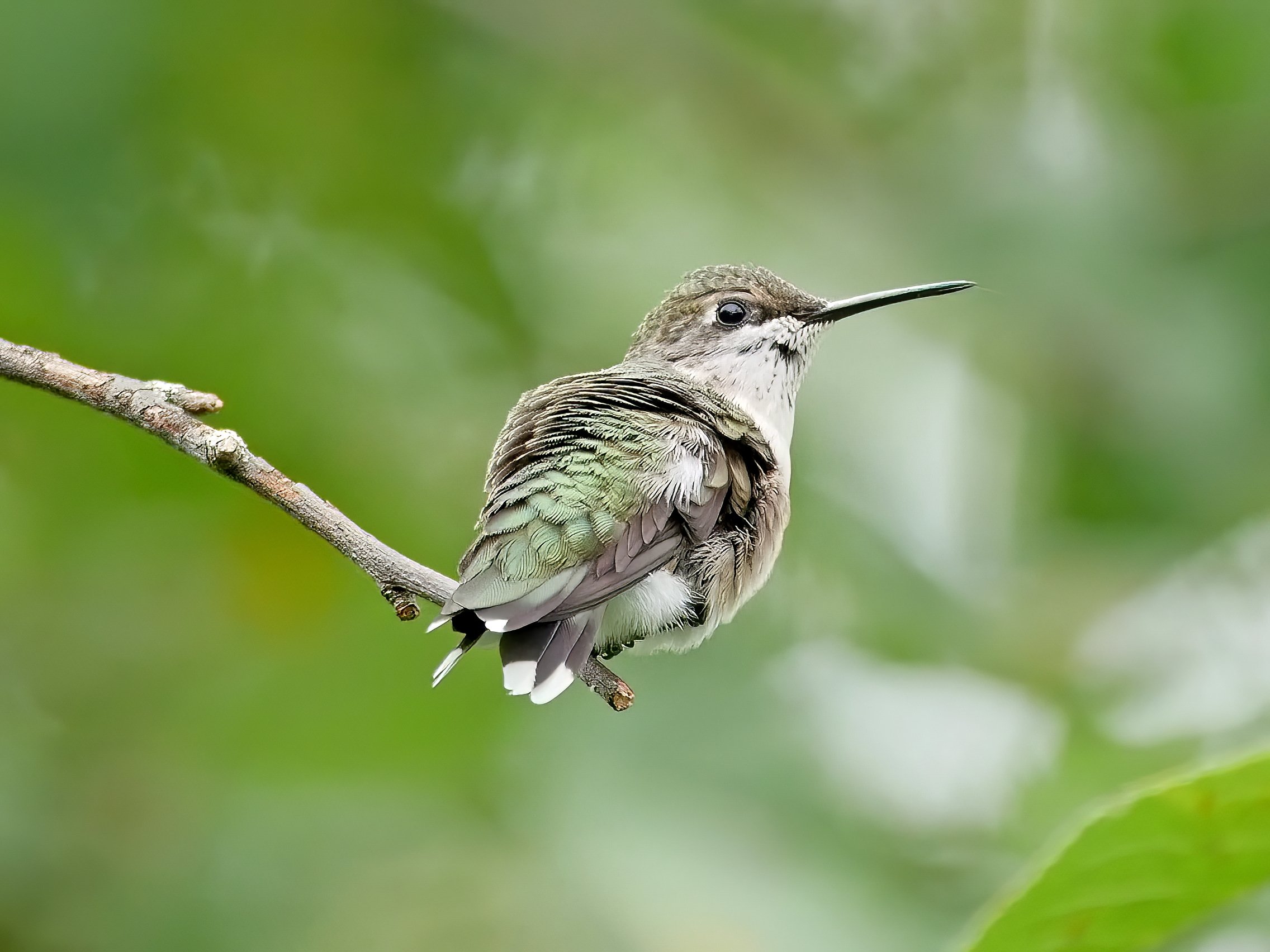
Female Ruby-throated Hummingbird. Photo by Dexter Patterson
Swainson’s Thrush. Photo by Dexter Patterson
Male Wood Duck. Photo by Dexter Patterson
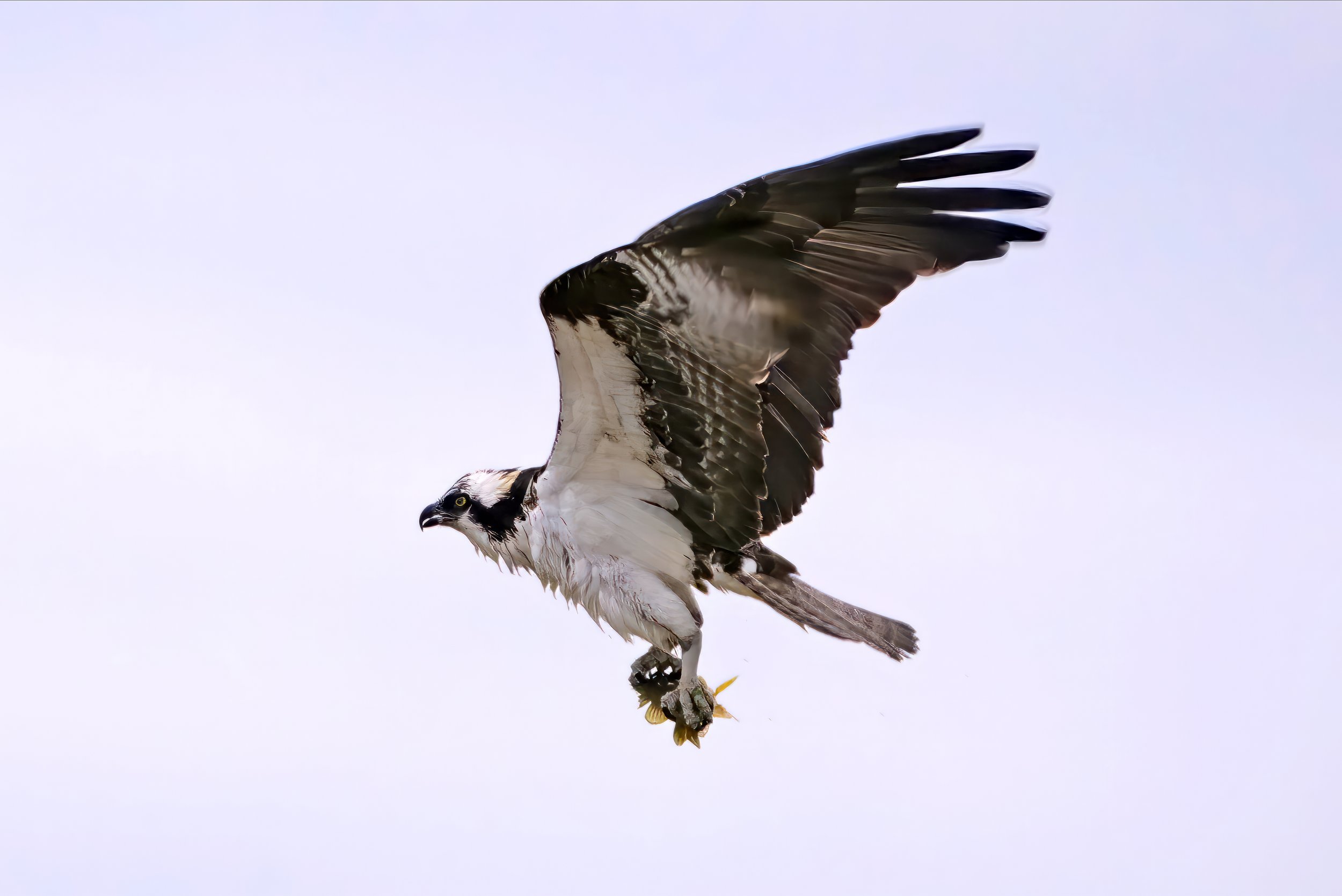
Osprey. Photo by Dexter Patterson
Screech Owl. Photo by Dexter Patterson
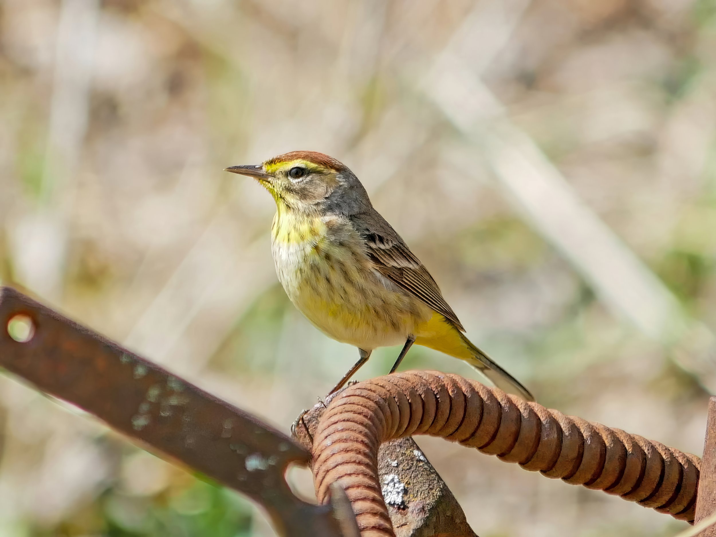
Palm Warbler. Photo by Dexter Patterson
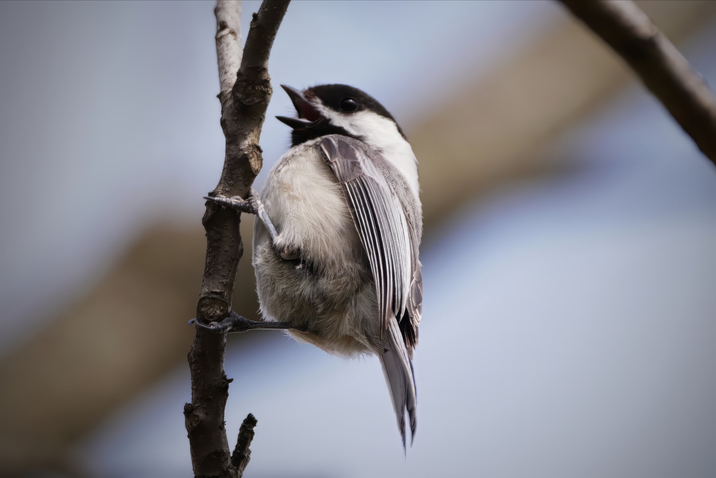
Black-capped Chickadee. Photo by Dexter Patterson
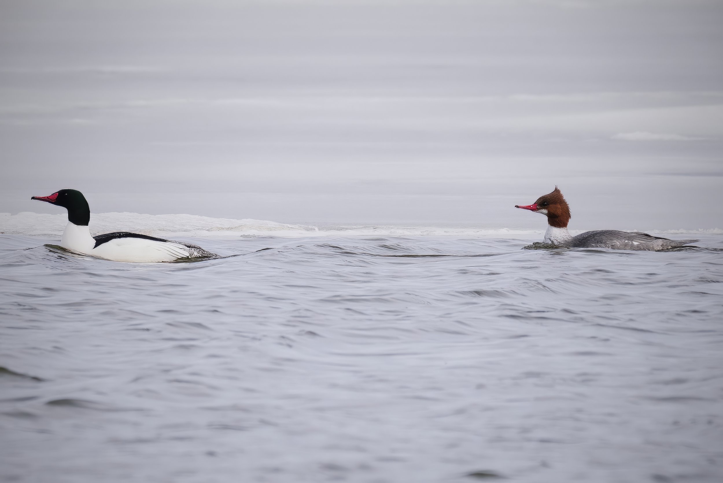
Common Mergansers. Photo by Dexter Patterson
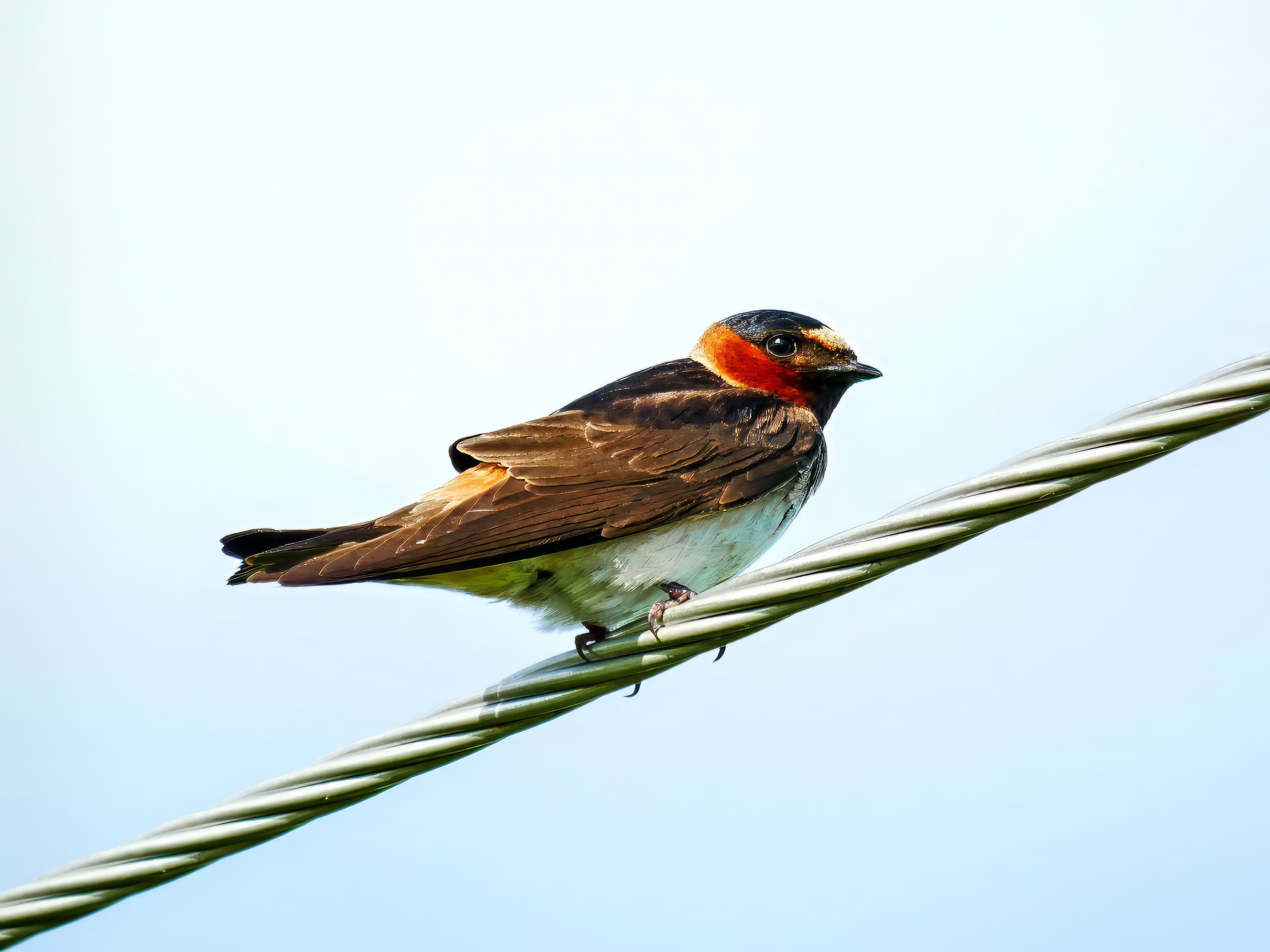
Cliff Swallow. Photo by Dexter Patterson
Eastern Bluebird. Photo by Dexter Patterson
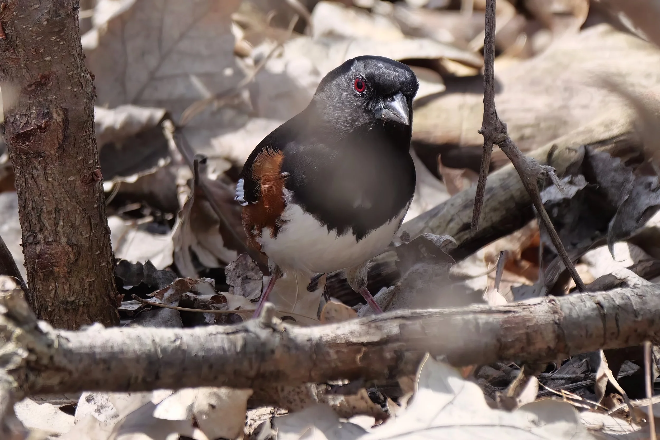
Eastern Towhee. Photo by Dexter Patterson
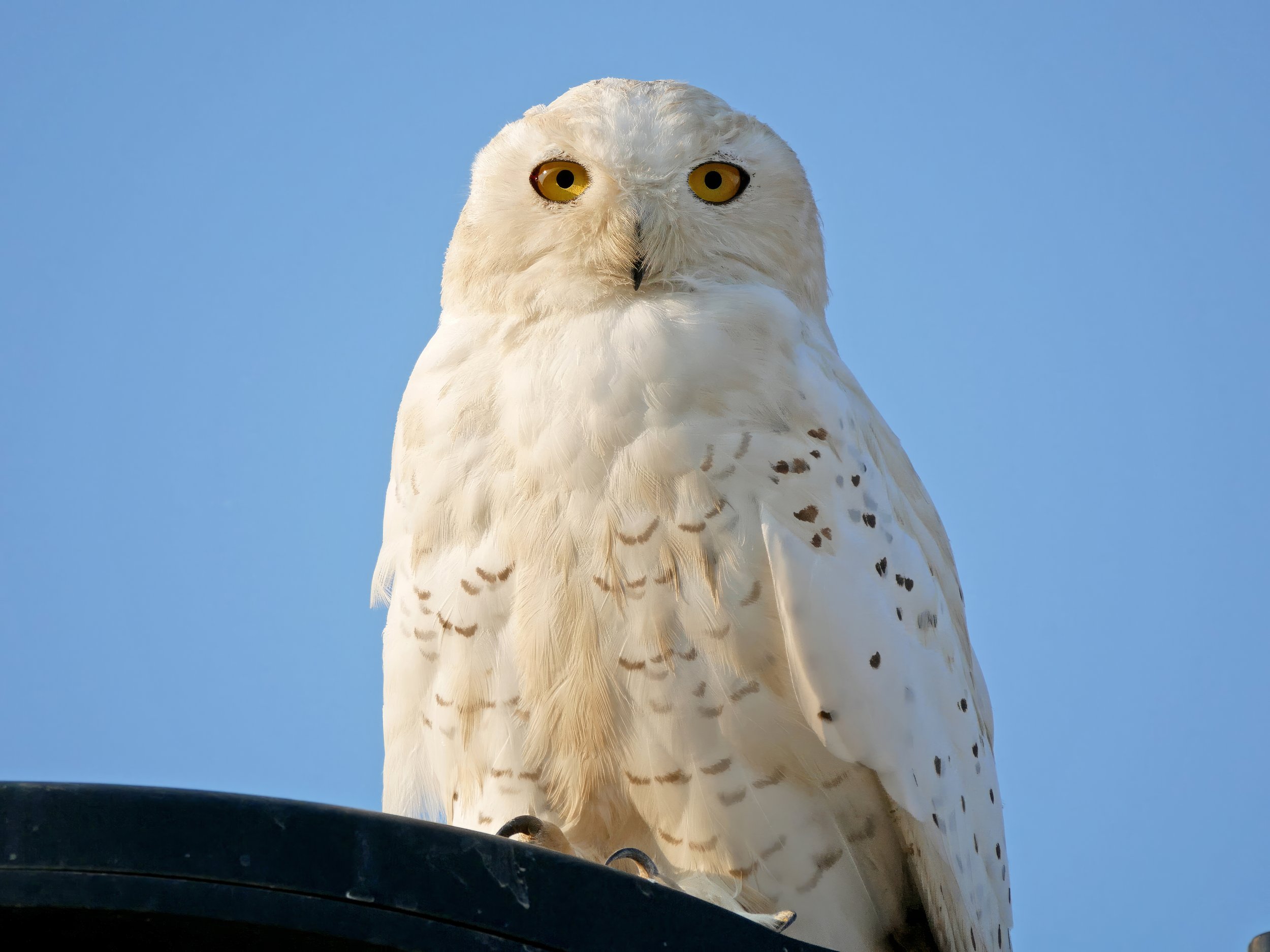
Snowy Owl. Photo by Dexter Patterson
Favorite Madison-area Birding Spots
01 — Patrick Marsh Wildlife Area
Patrick Marsh surrounds Brazee Lake with over 18 acres of prairie and 60 acres of open water, it is the perfect place to spend the afternoon. In 2015, several new visitors features were installed including a wildlife viewing platform, information signs, upgraded trails and additional access to Sun Prairie neighborhoods. Map.
02 — Indian Lake County Park
Indian Lake County Park with 500+ acres is one of Dane County's largest parks. A winding trail leads to a historic chapel built in 1857, perched on a hilltop with breathtaking views. Trails offer recreational opportunities for all seasons, including access to a log cabin warming house. Halfway Prairie Wildlife Area, a 128-acre county public hunting area located immediately north of the property, offers additional recreational opportunities. Map.
03 — Nine Springs E-Way
The Lewis Nine Springs E-Way is a seven mile environmental corridor, extending from Verona Road on the west to Lake Farm County Park on the east. The corridor includes many points of natural and cultural interest including extensive areas of wetlands, prairies, forests, Native American mound sites, and numerous large springs which flow into Nine Springs Creek. Map.
04 — Elmer and Edna Culver Wetlands Conservancy
This is a small park with tallgrass prairie and hiking trail system. It contains prairie, wetland, and the largest springs in in all of southern Wisconsin. These springs feed into Token Creek, making it is the single biggest tributary to Lake Mendota. Lots of great birds here, including Rose-breasted Grosbeaks, Eastern Bluebirds, Eastern Kingbirds, and all types of Thrushes. Map.
05 — Cherokee Marsh North & South
Strategically located at the head of Madison's lakes, Cherokee Marsh North and South Units act as a living sponge, filled with wildlife. Cherokee Marsh is the largest wetlands in Dane County. The North Unit is 946 acres of wetland, woodland, and prairie, has 2.6 miles of trails, along with a boardwalk, and two observation decks. Restrooms at this location are open year-round. The School Road/South Unit has wetland, prairie, woodland, and a boat launch, as well as 3.1 miles of trails for skiing in the winter and hiking in the summer. Map (North). Map (South).
06 - William G. Lunney Lake Farm County Park
The 328-acre Lake Farm County Park is a unit of the Capital Springs Recreation Area and has a campground, three shelter facilities, two accessible fishing piers, play equipment, barrier-free boat launch (with a fish cleaning facility), group camping area, wildlife pond, observation tower, hiking and cross-country ski trails. Map.
07 — Turville Point Conservation Park
Turville Point Conservation Park (commonly called Olin-Turville Park) include 64 acres that border the shores of Lake Monona, a short walk from downtown. Large red, bur, and white oak provide the canopy under which a variety of spring wildflowers bloom. A seven-acre prairie opening adds to the diversity of the site. Adjacent to Olin Park which has restrooms and a parking lot. Map.
08 — Lakeshore Nature Preserve
The University of Wisconsin-Madison Lakeshore Nature Preserve is a 300-acre natural area situated on the south shore of Lake Mendota on the University of Wisconsin-Madison campus. It represents about one-third of the total acreage of the main UW-Madison campus and includes 4.3 miles of Lake Mendota shoreline. Map.
09 — Owen Conservation Park
Owen Conservation Park is 67 acres of prairies and oak savannas that have risen like a phoenix to reclaim the landscape. Coneflowers, goldenrod, and bluestem are among the many plants that yield a harvest of ever-changing color and texture throughout the year. Map.
10 — UW Arboretum
The UW Arboretum is 1,2000 acres of natural area in the heart of Madison. The Arboretum includes the oldest and most varied collection of restored ecological communities in the world. Among the tallgrass prairies, savannas, wetlands and several forest types, the Arboretum also houses flowering trees, shrubs and a world-famous lilac collection. Map.
Favorite Statewide Birding Spots
01 — Horicon Marsh NWR (Mayville)
So many great birds, so much space, and amazing, vast wetland habitat. Horicon Marsh National Wildlife Refuge in eastern Wisconsin is a gem for birders who enjoy waterfowl, shorebirds, and even grassland species found in the adjacent uplands. Map.
02 — Lake Kegonsa State Park (Stoughton)
Lake Kegonsa State Park offers a variety of recreational activities set along a 3,200-acre lake. A swimming beach, picnic areas with reservable shelters, and a boat launch are within 1 mile of the campground. Fishing opportunities are excellent, while hiking trails weave among oak woodlands, prairies and wetlands. Map.
03 — Lake Park (Milwaukee)
Lake Park has been a Milwaukee gem since 1889. Enjoy the great stretches of open, meadow-like spaces, winding wooded paths and bridges that lead to surprising vistas, the North Point Lighthouse, and gorgeous views of Lake Michigan. Map.
04 — Spring Green Preserve (Spring Green)
Spring Green Preserve, known as the 'Wisconsin Desert', features a rolling sand prairie on an old Wisconsin River terrace and harbors a unique flora and fauna that are adapted to the hot, droughty environment. Bird life is diverse and includes large numbers of rare open country birds such as the dickcissel. Map.
05 — Buena Vista Grasslands (Stevens Point)
Buena Vista Wildlife Area/Grasslands is a 12,700-acre property located in southwestern Portage County. Buena Vista Wildlife Area consists of scattered parcels 10 miles east of Wisconsin Rapids and 4 miles south of Plover. The area is predominately grassland with some woodland, and was designated as an Important Birding Area. Buena Vista Grasslands is home to the largest concentration of greater prairie chickens in Wisconsin and represents one of the most extensive grasslands east of the Mississippi River. Map.
06 — Wehr Nature Center
At Wehr Nature Center, you can explore over five miles of nature trails through woodland, wetland, prairie and oak savanna on 220 acres of protected land in Whitnall Park. Just outside the Visitor Center you’ll discover labeled gardens featuring prairie, woodland and other plant varieties; a natural play space for kids with a log cabin playhouse; and an accessible deck over Mallard Lake. Map.
07 — Kettle Moraine State Forest - Southern Unit (Dousman)
Covering more than 22,000 acres of forested glacial hills, kettle lakes and prairies, the Southern Unit of the Kettle Moraine State Forest is interlaced with more than 100 miles of mountain biking, horseback riding and hiking and nature trails. Map.
08 — Wyalusing State Park (Bagley)
At Wyalusing State Park, camp 500 feet above the confluence of the Wisconsin and Mississippi rivers. One of Wisconsin's oldest state parks, Wyalusing features family and group campsites, hiking trails, a canoe trail, Native American burial mounds, bird watching, fishing, boating, bicycling, and picnicking on bluff top overlooks. Map.
09 — Token Creek Conservancy (Windsor)
The Token Creek Conservancy is roughly 190 acres of publicly owned land located in the Village of Windsor along the Token Creek. Token Creek is the primary contributor of water to the Yahara River and consequentially is the largest contributor to the water of Madison’s Lake Mendota. Map.
10 — Lake Michigan Shoreline
The Lake Michigan shoreline is good both for waterbirds and as “migrant traps” for songbirds traveling along the shore. But you don’t have to go big for great gets: Lakeside city parks in Milwaukee and Sheboygan rank with the most productive birding sites in the state.

